

By XINHUA
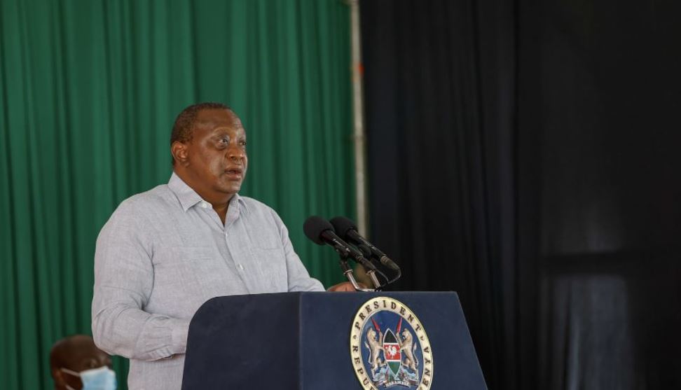
Kenyan President Uhuru Kenyatta on Tuesday launched Ardhisasa, a digital land information management system aimed to bring efficiency and transparency to the land sector in the country.
The new system, which marks the end of manual land transactions in Nairobi, was developed by a team of Kenyan techies over a three-year period and is designed to enhance the security of land records, speed up land transactions and curb fraud.
“The full rollout of the program will facilitate the resolution of historical land disputes and guarantee the security and sanctity of your land title deed,” Kenyatta said during the launch of the new system in Nairobi.
Kenyatta said that the digital platform will protect them from exploitation by cartels, middlemen and fraudsters, noting that with the advent of Ardhisasa, missing files, perennial fraud, corruption, and illegal land transactions will be a matter of the past.
He said that the new digital platform will benefit all landowners and potential landowners by providing accurate information required to support the commercialization of land in a convenient and timely manner.
Ardhisasa project also saw the production of Kenya’s first digital topographical map and those of the nation’s 47 counties, as well as a cadastral map for Nairobi City County.
The cadastral map enables the Ministry of Lands and Physical Planning to start the process of migration to a unitary regime for land registration in order to curb fraud and cut transaction time.